Climate
Our scientists are studying not only what's happening, but what we can do about it to protect our world and make lives better.
Our Changing Planet
The science is clear. We are impacting the climate on Earth by pouring of a wide array of chemicals into our ecosystems. As our planet warms, Extension scientists are researching real world solutions to problems we face now and problems we could face 100 years from now.
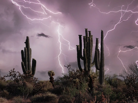
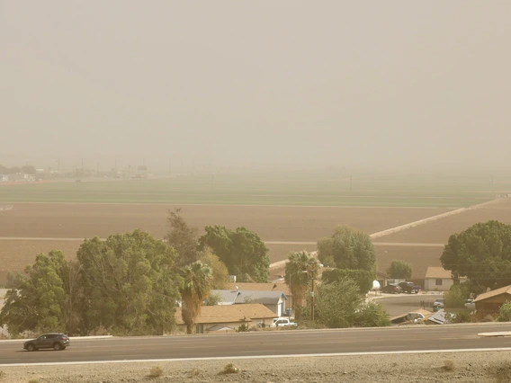
Your Monsoon
Track the Arizona rainy season with his collection of Cooperative Extension research.
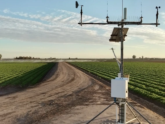
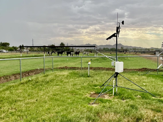
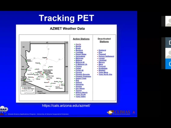
AZMet
The Arizona Meteorological Network provides weather data for agriculture, public safety, and urban areas.
Climate Tools
A collection of climate-related information and research tools.
Tracking Weather and Climate Video
Extension Climate Specialist Mike Crimmins explains how tracking weather helps urban agriculture.
Educational Materials
Events
There are currently no upcoming events for this subtopic.